Fishing with Personalised Map
A wonderful present for anyone who is a keen angler or fisherman, this unique print can be personalised with any vintage map location showing a beat, pool or river that they love to fish.
Product Specification
Sizes Available:
Small - 30x21cm.
Medium - 40x30cm.
Large -70x50cm.
Extra Large - 91x61cm.
Available framed, or unframed. Framed prints come with a smooth, white matte board to make any design look elegant and refined. Framed prints are available with Black, or White frames. These prints are made from museum-quality matte paper.
A wonderful present for anyone who is a keen angler or fisherman, this unique print can be personalised with any vintage map location showing a beat, pool or river that they love to fish. The black silhouette is printed over an antique map of your choice and makes a wonderful addition to the wall in any home.
Please proceed to the "customise & add to cart" stage to choose your vintage map.
Materials
Our reproduction antique maps are printed onto acid-free, 230gsm premium white matt paper. We use archival quality ink to ensure your print retains its colour and quality over time.
Antique maps
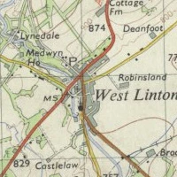
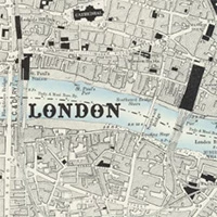
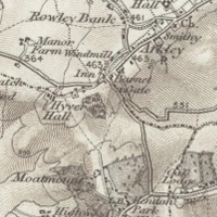
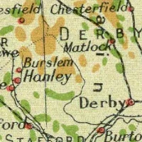
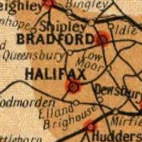
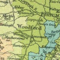
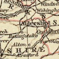
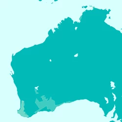
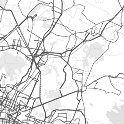
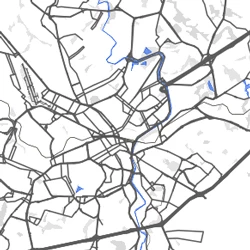
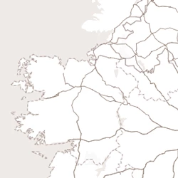
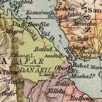
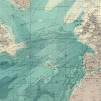
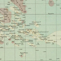
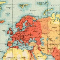
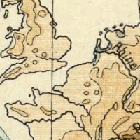
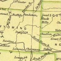
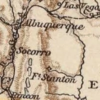
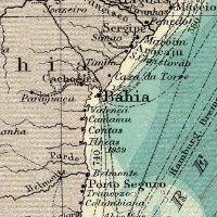
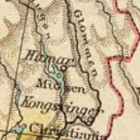
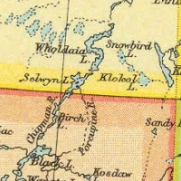
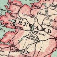
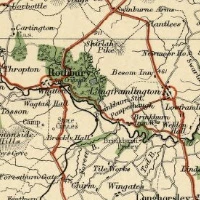
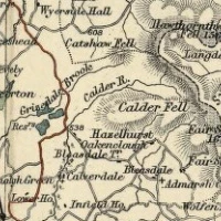
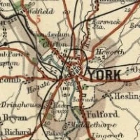
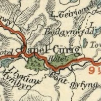
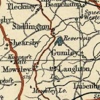
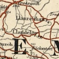
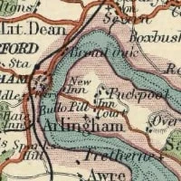
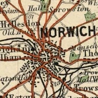
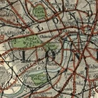
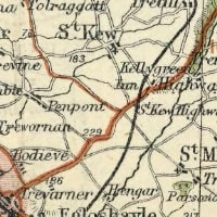
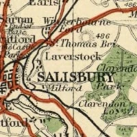
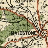
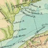
We've never met anyone who doesn't love old maps, which is why we only use antique maps printed on our products. Their unique charm and history are part of who we are and is the foundation of all our products. Because of their age, many were drawn in the 19th Century, not all of the place names or locations we expect to see on modern day maps will be marked. By clicking through to customise your product you are able to view all the maps we have in our collection.
The original old maps have been digitally scanned and pieced together to cover the UK so you may find in places there are map joins or discolouration. We apologise that we cannot edit these maps and suggest, where possible, positioning the map so you are unable to see these joins or choosing an alternative scale that shows your location as it could detract from the finished product.
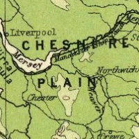
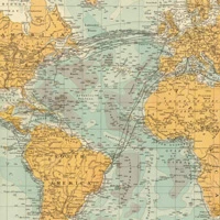
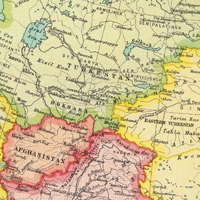
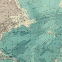
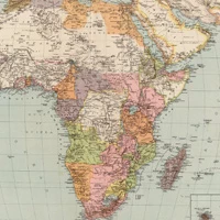
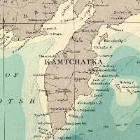
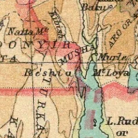
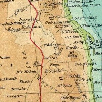
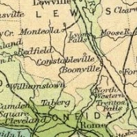
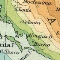
Our international maps showing countries across the world are taken from antique atlases. You will be able to zoom in on your area of interest and resize the map to fit a product of your choice. We suggest that you avoid including the borders of the pages on your product as they could detract from the beauty of the finished product. Be careful when zooming in too close, the original atlas has been scanned at a high quality but zooming in too far could mean the map is blurred or pixelated, where possible, we will advise customers on the best zoom level for their product.
Once your product has been created, it will be dispatched on a 48 hours delivery service.
International delivery is available at checkout.
For any queries, please get in touch at [email protected] or by using the live chat function.
| Delivery Lead Time | 3-5 Working Days |
|---|---|
| Show Map Editor | Yes |
| Show walkthrough (map only) | No |
| Show walkthrough (map + silhouette) | Yes |


